

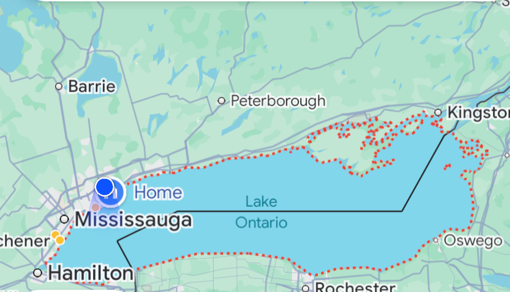
Google has updated its Maps app to display Lake Ontario as "Lake America" exclusively for users located within the United States. If you view the map from Canada, the body of water remains Lake Ontario; users anywhere else in the world will see both names. This digital cartography shift is the direct result of an executive order signed by the guy in the White House, weaponizing geography as a flex amid an escalating trade and tariff war with Canada.
Google justified the change by citing compliance with the U.S. Geographic Names Information System and a corporate policy for managing bodies of water that share borders. The move is a direct sequel to a 2025 mandate that similarly rebranded the Gulf of Mexico as the Gulf of America. In response to this latest geographical gaslighting, Ontario Premier Doug Ford erected a billboard on the Canadian shore reading: “Lake Ontario. Now and forever.”
The sheer absurdity of dedicating engineering hours and corporate resources to geofence a lake's name is ridiculous when viewed against the backdrop of actual global crises. While the international community grapples with profound issues—ranging from climate catastrophes and economic instability to very real kinetic conflicts—the United States government and one of the world's most powerful tech monopolies are succumbing to protect a fragile ego from a Canadian map label.
It reduces global technology to a tool for validating petty nationalism. Instead of organizing the world's information to make it universally accessible and useful, Google is deliberately fracturing reality, ensuring that an American looking across the water never has to confront a name that hasn't been stamped with a localized brand of delusion. It is a profound waste of time, energy, and digital ink, proving that when faced with a choice between objective reality and appeasing political tantrums, big tech is perfectly willing to redraw the map dynamically.

